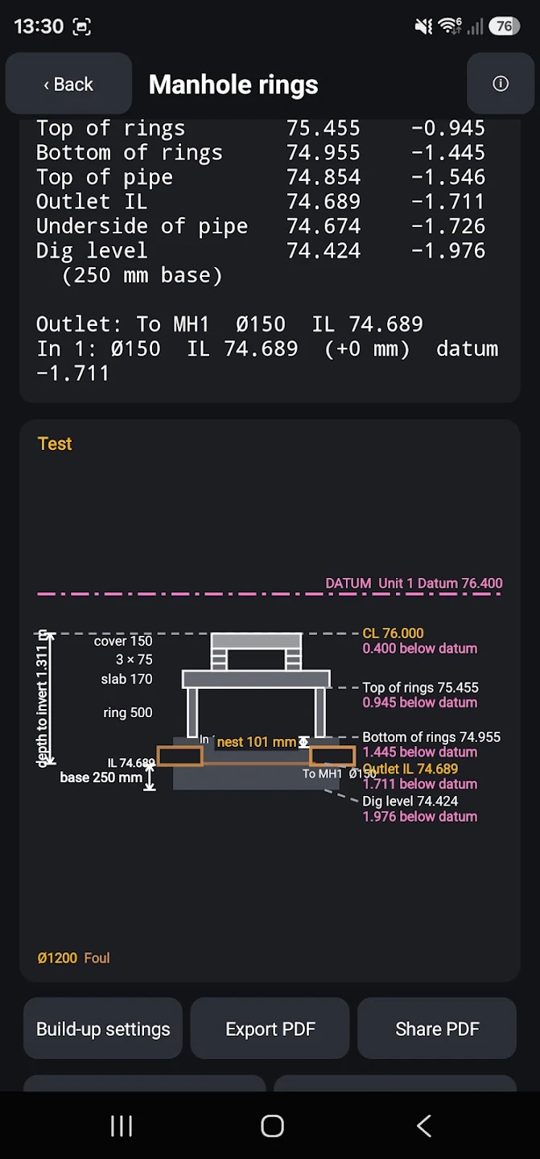
I'm a setting out engineer, and I built these tools because the ones I had were slow, expensive or never quite fit the job. They're written in plain site English, for groundworks and civils.
One Windows program covering the jobs you'd normally need several packages for.
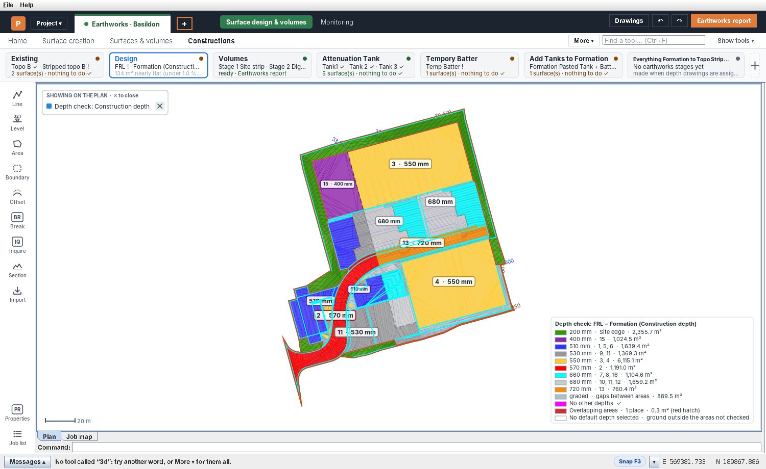

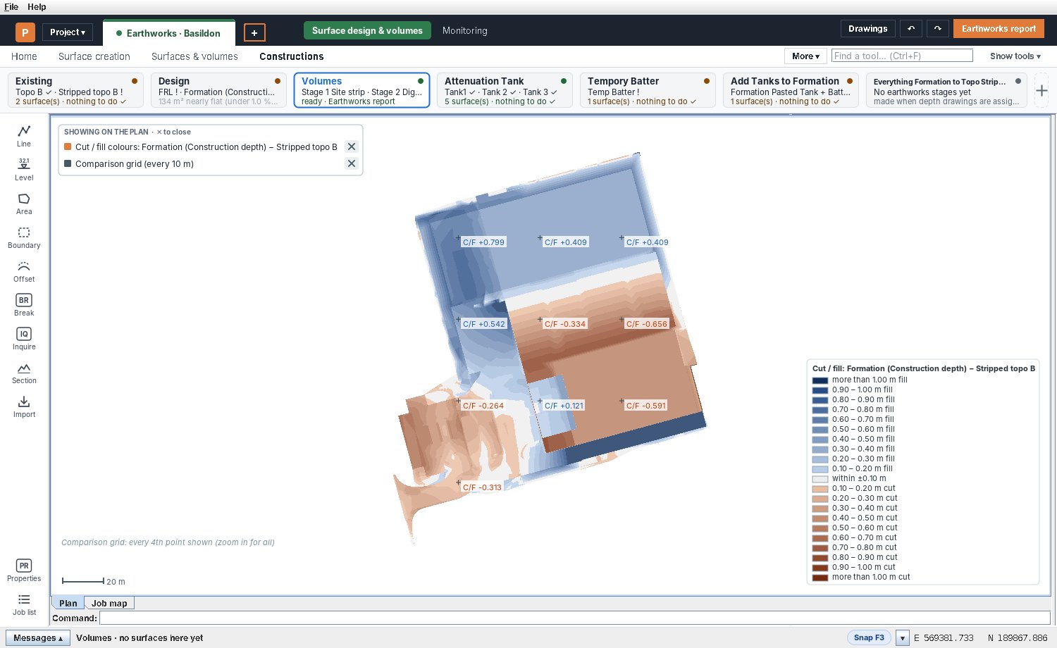
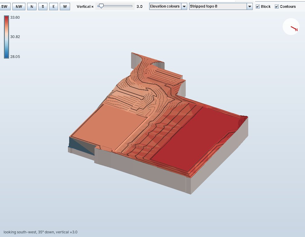
Cut and fill volumes, batters, construction depths and stockpiles.
Open and edit DXF drawings using the AutoCAD commands you already know.
Lay out pipe networks and manholes, and get schedules and falls.
Duct take-off, plus mesh and roll quantities from your drawings.
Traverse adjustment, OS grid and monitoring.
Keep drawings and specs alongside the job.
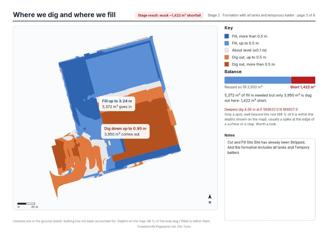
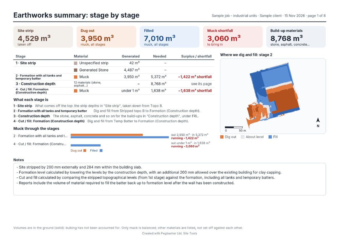
This is a real report made in Site Tools from a sample job. It comes as a printable PDF, and as a web page anyone can open on a phone or computer, with no program needed. In the web page you can draw round any area to get its cut and fill, and click anywhere for levels.
The beta is free for people on our beta list. Email app@pegbasher.co.uk to join it.
Download for Windows (link coming soon)See the Android app in action · Watch on YouTube
Your drawings on your phone. Open DWG, DXF and PDF drawings on site, measure from them, and set out, check drainage and take off ducts without going back to the cabin. You don't need an account, there are no adverts, and your drawings stay on your phone.
The viewer, measuring tools and calculators are free. Pegbasher Pro unlocks the full toolkit, with a 30-day free trial and then £15 a year.
DWG and DXF with layers, and PDFs set to scale. Measure distances, angles, areas and levels, snap to the drawing and mark up PDFs. Your original file is never changed.
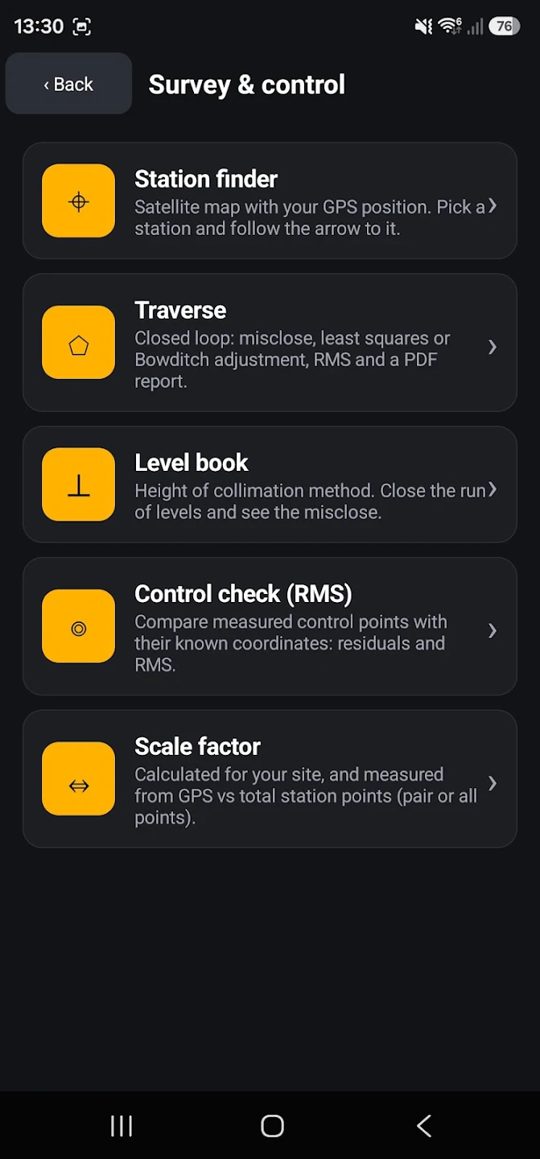
Align drawings to OS National Grid, do setting out calculations, traverse and station finding, see your GPS position over satellite imagery, use LandXML surfaces and compare revisions.
Trace ducts by type and size, group them into shared trenches, place boxes, and get totals, dig widths, PDF reports and marked-up DXFs.
Drainage networks and checks, plus manhole calculations, schedules and sheets.
Records and photos stamped with the date, time and GPS position, PDF site reports, and quick calculators for gradients, levels and spacing.
Keep each job's drawings, take-offs, records and reports together, and export the whole job as one file.
Available in English, French, German, Spanish, Dutch, Polish, Romanian, Russian and Albanian. The app is a checking aid, so always verify results on site before setting out, digging or ordering materials.
Found a bug or want a feature? I read every message.